Good day, everyone. Strong to severe weather is developing in regions of Oklahoma, Kansas, and Nebraska as an upper-level low-pressure system returns to Colorado.
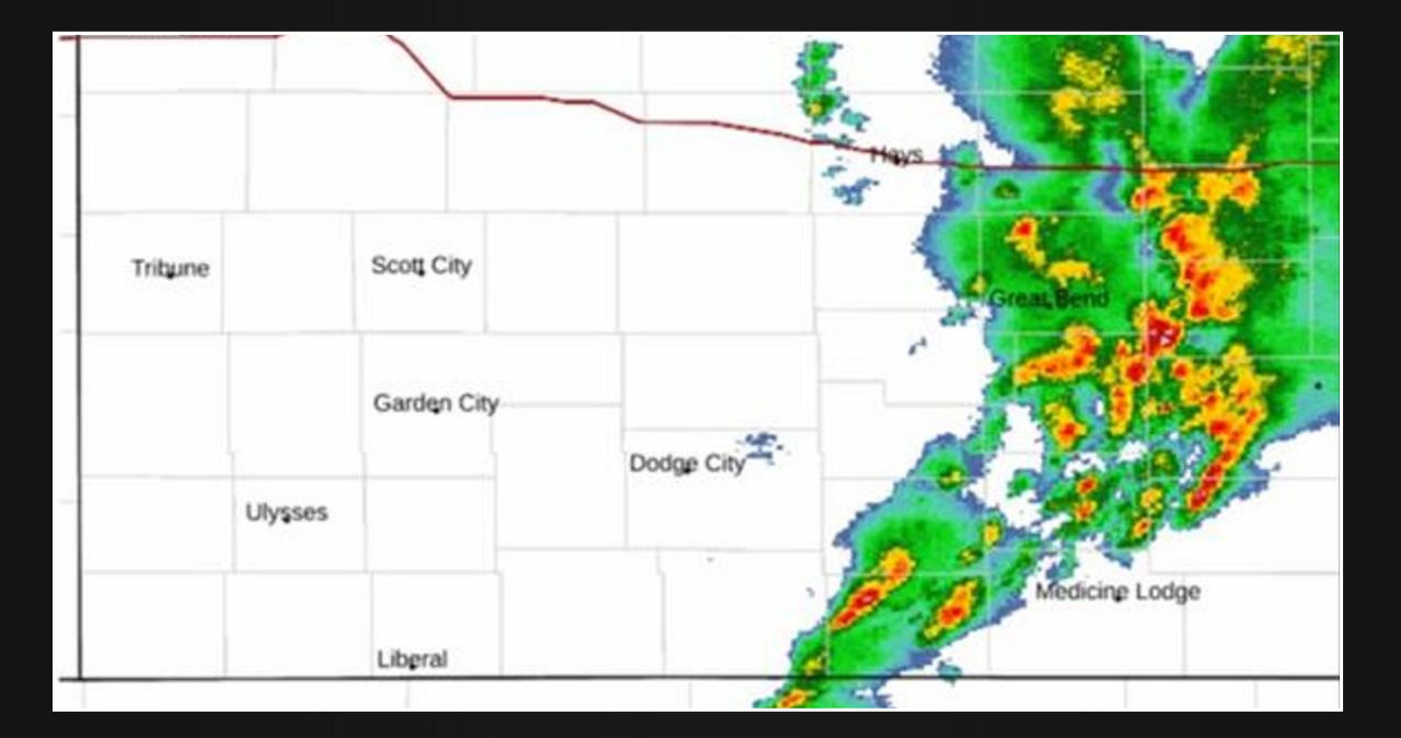
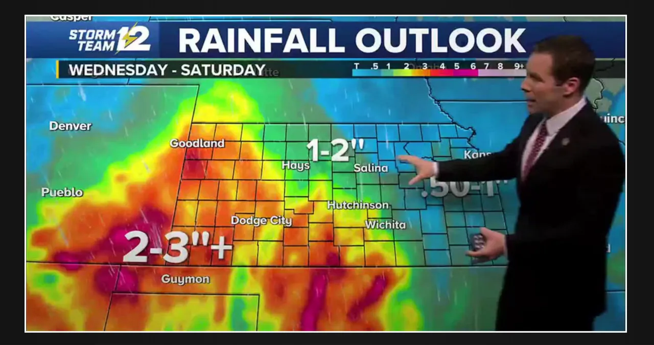
This newest burst of energy is colliding with comparatively warmer and more humid air, causing heavy rain and thunderstorms in western Oklahoma, central Kansas, southeast Nebraska, and eventually eastern Nebraska before diminishing.
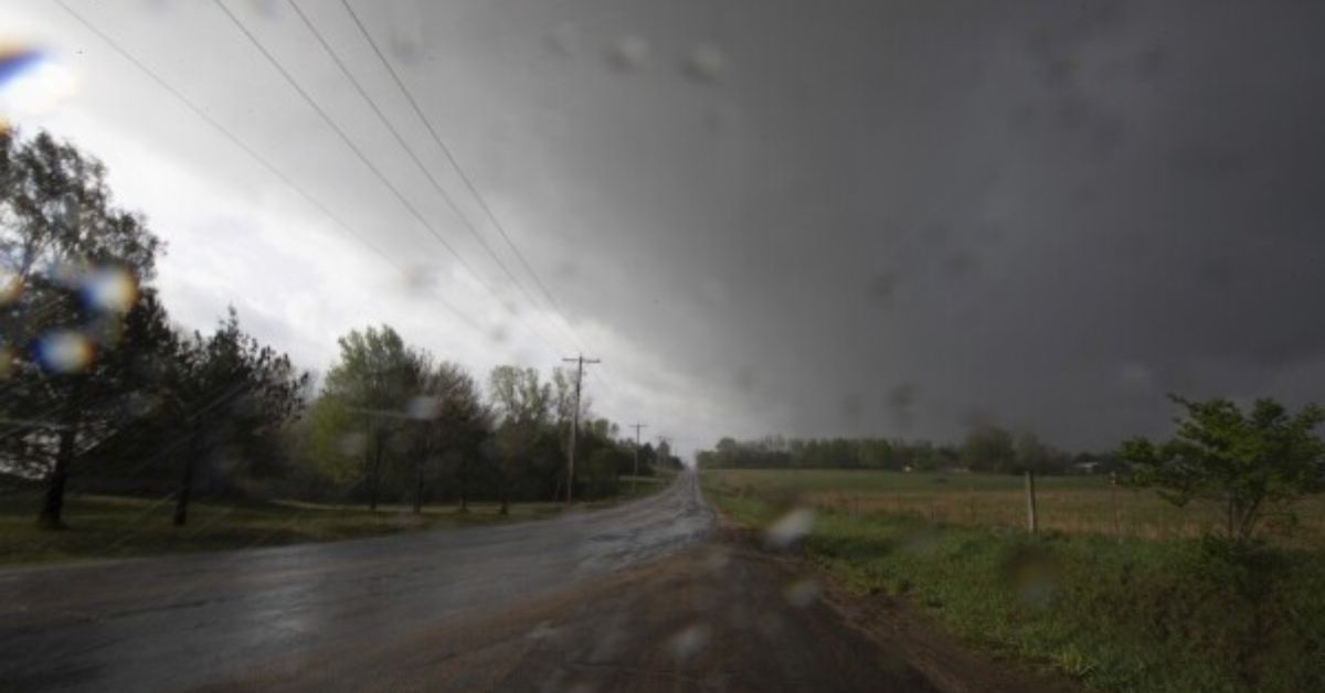
While no severe weather watches are currently in effect, these storms have a history of producing huge hail, locally destructive winds, frequent lightning, and heavy rain. Due to wind shear in the upper atmosphere, we cannot rule out the possibility of an isolated violent tornado accompanying some of these larger thunderstorms.
As the evening progresses and the sun sets, we expect these storms to fade and our upper-level low to gradually dry out as high pressure whittles it down and takes control.


