Good morning everyone! The Northeast is basking under cobalt blue skies as dry air settles in and high pressure ensures that a powerful coastal storm remains well offshore. While there may be some enhanced tides and coastal flooding concerns, we are fortunate to be experiencing a glorious five-day stretch in much of the region.
Temperatures today will range from seasonable to seasonably cool as the air gradually warms up from the recent cold spell. However, tomorrow is expected to be even milder, with temperatures nearing 70 degrees along the coastal plain. As we head into Sunday, the mercury will rise further, reaching the mid-70s. If conditions permit, Monday could see temperatures reaching as high as 75-80 degrees. The mild air will persist on Tuesday before a gradual cooling trend sets in once again.
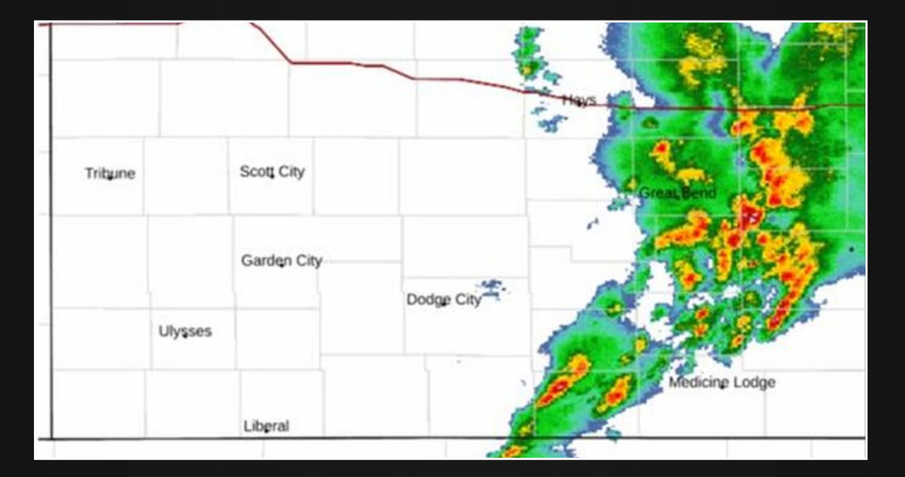
A powerful low pressure system is making its way through the Rockies and into the western Plains, making it the major weather event in the western part of the country. As it moves, it will bring heavy showers, thunderstorms, and the possibility of isolated severe weather. Additionally, the higher elevation mountains can expect heavy snowfall, with the potential for 1-2 feet of snow.
In areas like New Mexico, Colorado, the panhandle of Texas, and westernmost Oklahoma & Kansas, we may experience locally damaging winds, frequent lightning, hail, and heavy rainfall. Due to high pressure, this weather activity is not expected to move further east. However, areas on the eastern edge of this energy may encounter some severe scattered thunderstorms in the upcoming days.
Here’s the forecast for the NYC Metro area:
Expect plenty of sunshine today with dry conditions. Keep an eye out for minor coastal flooding in coastal areas as the low pressure system combines with the moon to intensify the tides. Temperatures will reach the mid to upper 60’s.
Tomorrow will be a milder day with plenty of sunshine, dry weather, and temperatures reaching around 70 degrees. On Sunday, we can expect even warmer weather with highs in the low to mid 70s, making it a perfect day to enjoy the October weather.
Monday will have a mild to warm weather, with highs reaching the 75-80 range in most parts of the area. The immediate shore may experience cooler conditions. As we move towards Tuesday, temperatures will slightly decrease to the mid 70’s. However, by Wednesday, temperatures will drop further and settle in the 60’s.