The current weather forecast for the region predicts a combination of sunny skies and stormy evenings. Starting with early morning fog patches this Sunday, particularly along the Blue Ridge’s western valleys, the day is expected to be sunny. However, according to the National Weather Service Baltimore, MD/Washington, DC, those bright skies will change later this evening.
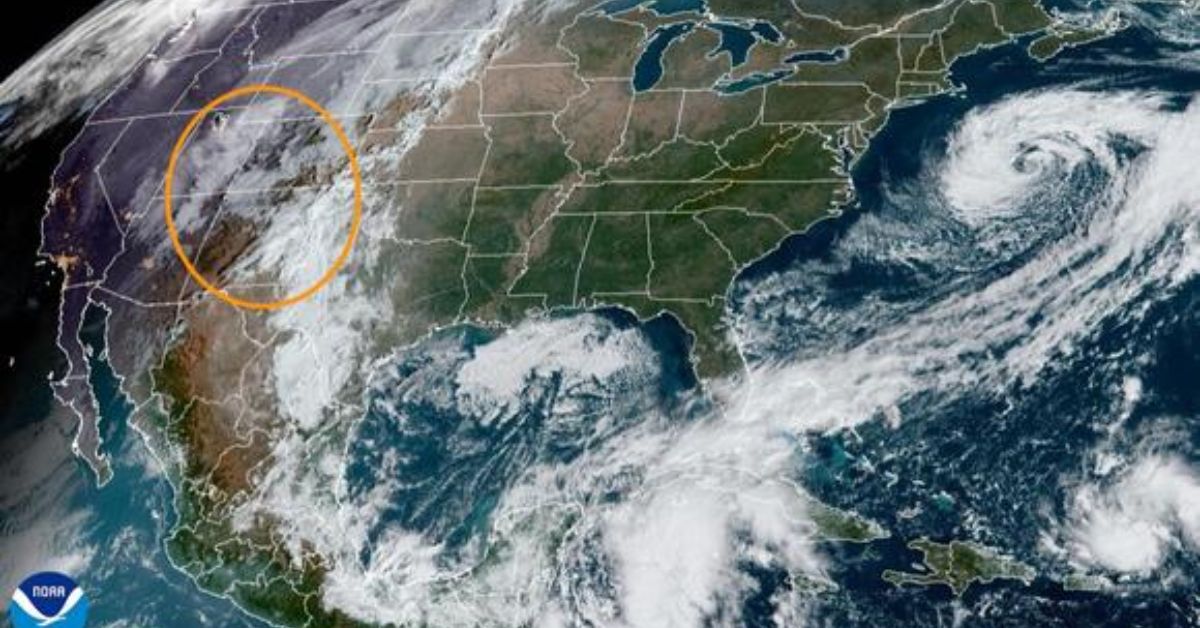
With a strong cold front approaching from the Ohio River Valley, Baltimore’s weather system is about to change. The Storm Prediction Center predicts showers and potential thunderstorms to reach late this evening into the early hours of Monday, bringing the marginal risk of severe thunderstorms to areas of the region. We expect thunderstorms to impact areas west of the Allegheny Front between 10 p.m. and midnight.
However, once the front reaches the mountain range, we expect the storms to weaken, thereby removing the day’s heat and potentially sparing the more eastern areas from some discomfort. Despite the degradation, areas from the Blue Ridge to the I-95 corridor may still get a few isolated showers or thunderstorms between midnight and 2 a.m.
As the work week begins, temperatures are also cooling. According to the same source, cooler air and high pressure will arrive Monday through Tuesday night, lowering our highs to the more tepid upper 60s to mid-70s—the mountains will be in the 50s. This high-pressure system is expected to bring northwesterly winds that can reach up to 25 mph. While these gusts will subside by Tuesday, the chill will persist, with frost possible as mountain temperatures drop into the mid-upper 30s.
For all of you pilots out there, the only snag appears to be some early morning visibility concerns near and west of the Blue Ridge, which should ease after dawn. Tonight’s cold front might generate some activity, but it won’t be particularly significant, as storm-related disruptions will decrease east of the mountains. Meanwhile, sailors should follow the Small Craft Advisory, which runs from 8 p.m. tonight to 6 a.m. Monday and covers the Chesapeake Bay and parts of the lower tidal Potomac.
The tide is slightly southerly today, but there is no forecast for coastal flooding. However, Annapolis and Washington’s Southwest Waterfront may be on edge tonight. It’s a different story after the cold front, with northwesterly winds pushing back the tides, reducing the likelihood of soggy beaches.


