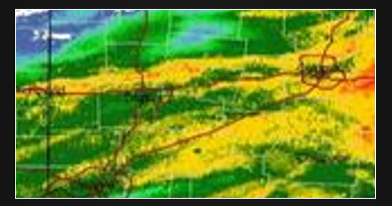
Good day, everyone. We’re seeing heavy convective thunderstorm bands move northward from Kentucky and Tennessee into Ohio and Indiana.
As this area of energy sweeps through each location, we expect strong winds, torrential rain, and embedded severe weather. Radar-indicated rotation along the Kentucky border in southern Ohio has prompted the issuance of tornado and severe thunderstorm warnings.
These storms have a history of 70 mph wind gusts, hail, heavy rain, frequent lightning, and the possibility of short tornadoes. We expect this action to lift northward and potentially westward into Indiana. Meanwhile, areas such as Columbus and Dayton, OH, have experienced heavy rain and strong gusts.
We expect heavy rain and embedded severe weather to persist throughout the evening and midnight hours as our storm system moves west and east, with high pressure attempting to prevent it from moving further north.