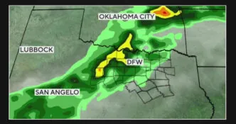
The front is making its final approach and is currently positioned to the northwest of the metroplex on Sunday night.
The shower and storm activity has been gradually decreasing along the leading edge, as anticipated due to the loss of daytime heating and instability. However, there is an approaching “impulse” in the jet stream that is expected to keep some showers and storms alive as the front moves through. Therefore, there are still chances of showers and storms for this evening, although these chances will gradually decrease during the morning hours.
By Monday afternoon, the feels like temperatures will improve, but there will still be some lingering humidity, particularly in the southern and eastern areas.
Tropics
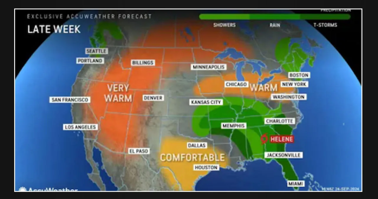
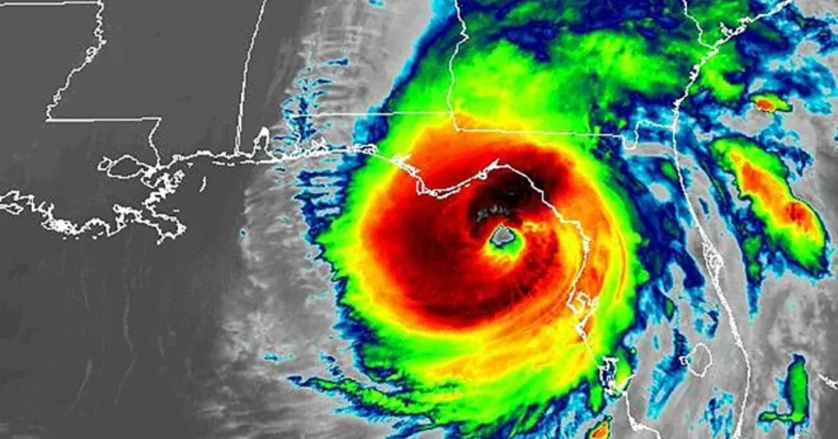
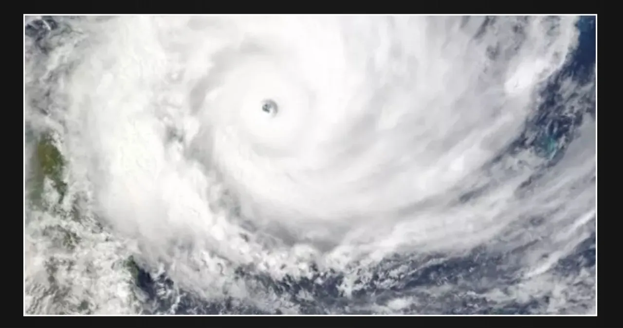
The National Hurricane Center Atlantic has raised the development odds for Invest 97L to 50% by Tuesday and 80% over the next week. It seems increasingly likely that we will see “Helene” forming in the Gulf by the end of this week, potentially as a Tropical Storm.
Upper air over the U.S.
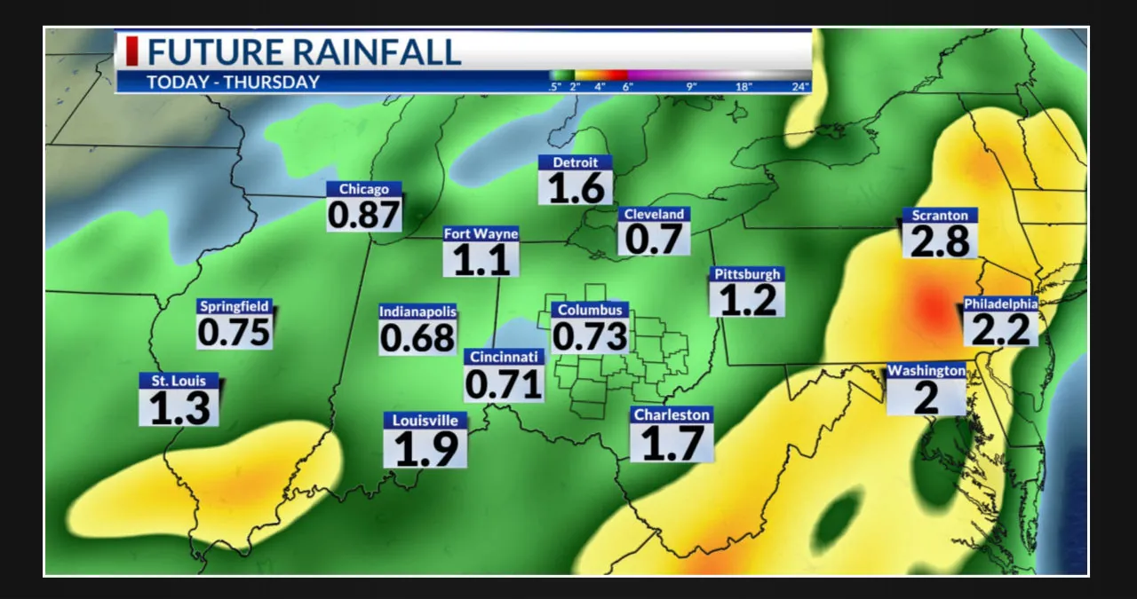
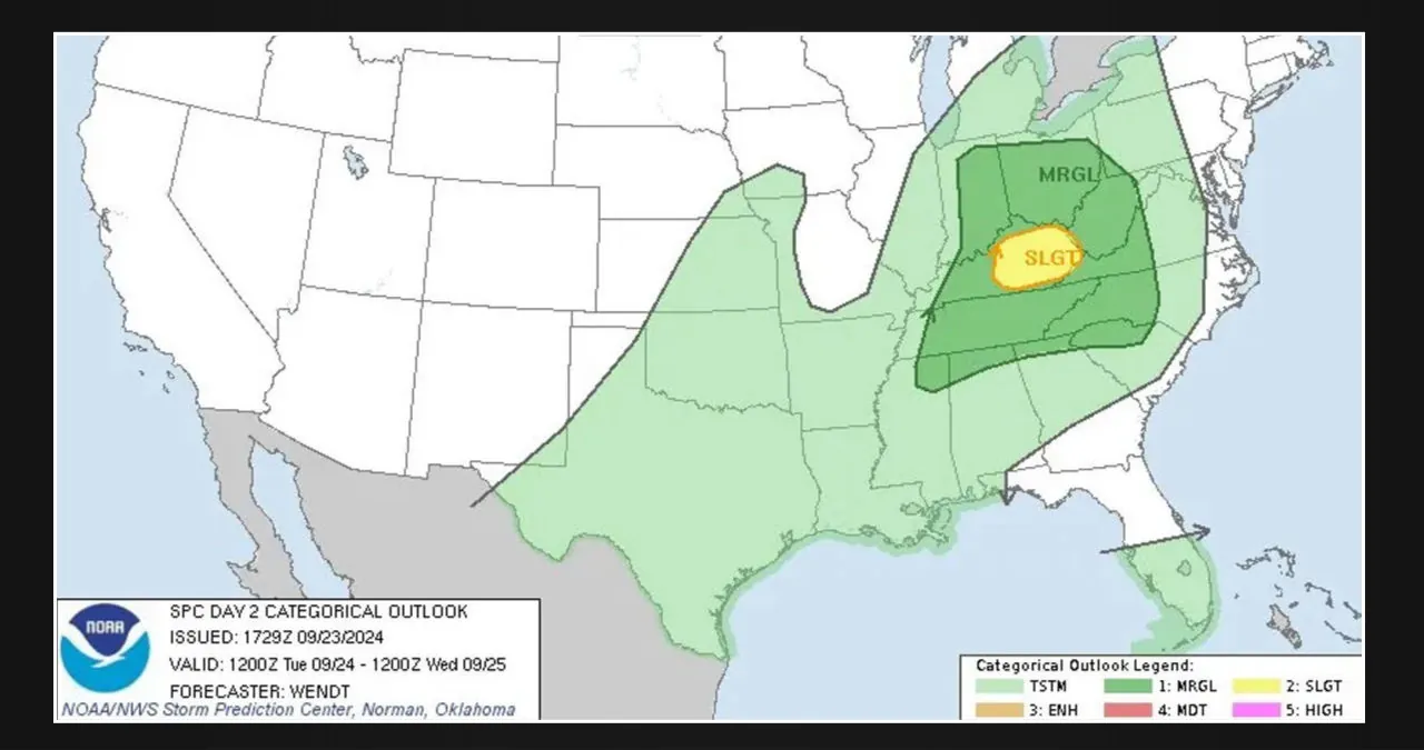
The upper-level trough from Canada is expected to extend southward early this week, possibly interacting with Helene from the Gulf later in the week. Model guidance indicates a dynamic interaction between the two systems, leading to an extended period of unsettled weather across the southern plains and the southeast US.
Great news! The possibility of rainfall remains open, and there is a chance of cooler and drier air moving in from the north by the upcoming weekend.
Can you believe that the State Fair is just around the corner?
The upcoming weekend will be characterized by a northerly flow over the metroplex, resulting in the arrival of drier air and cool mornings. Afternoon temperatures will only reach the low 80s initially, gradually increasing to the upper 80s by Sunday. Overall, it looks like a pleasant weekend ahead.
