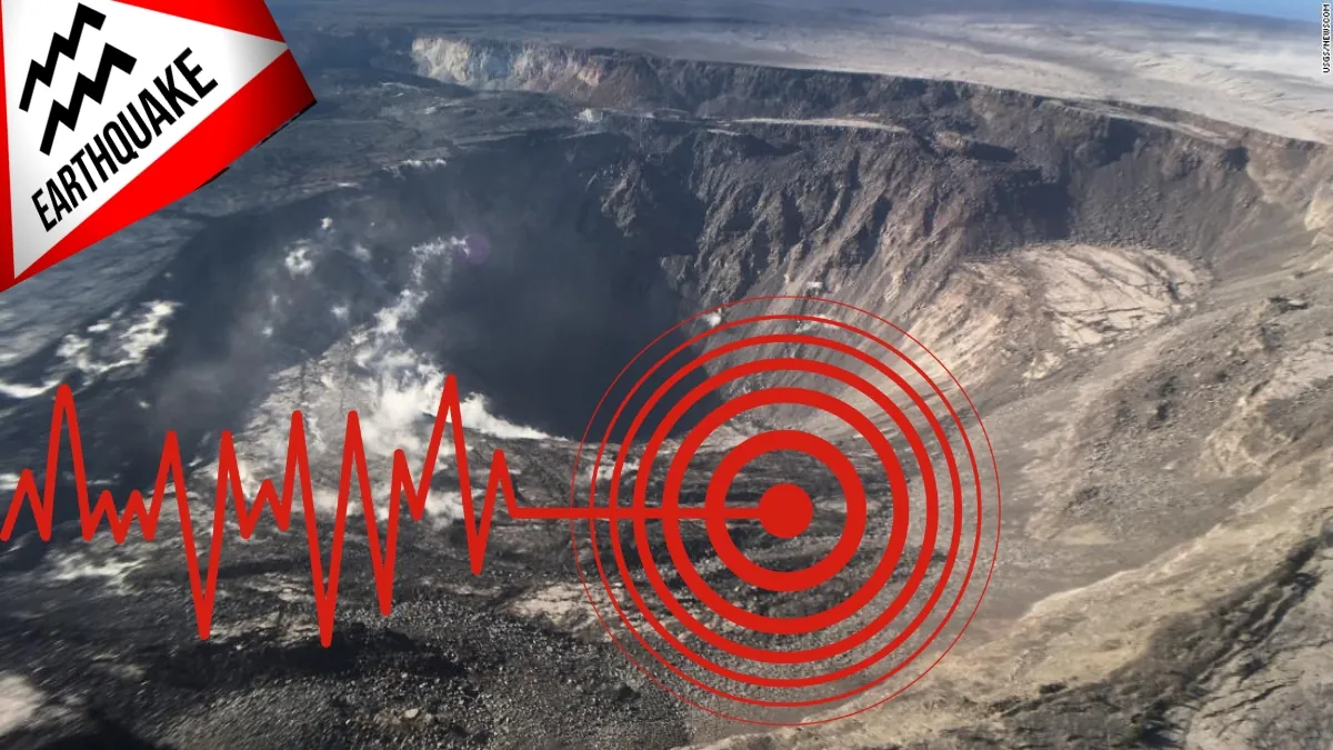
Geologists are issuing warnings for Hawaii’s Kilauea volcano following a recent spike in earthquake activity, which could indicate an upcoming eruption.
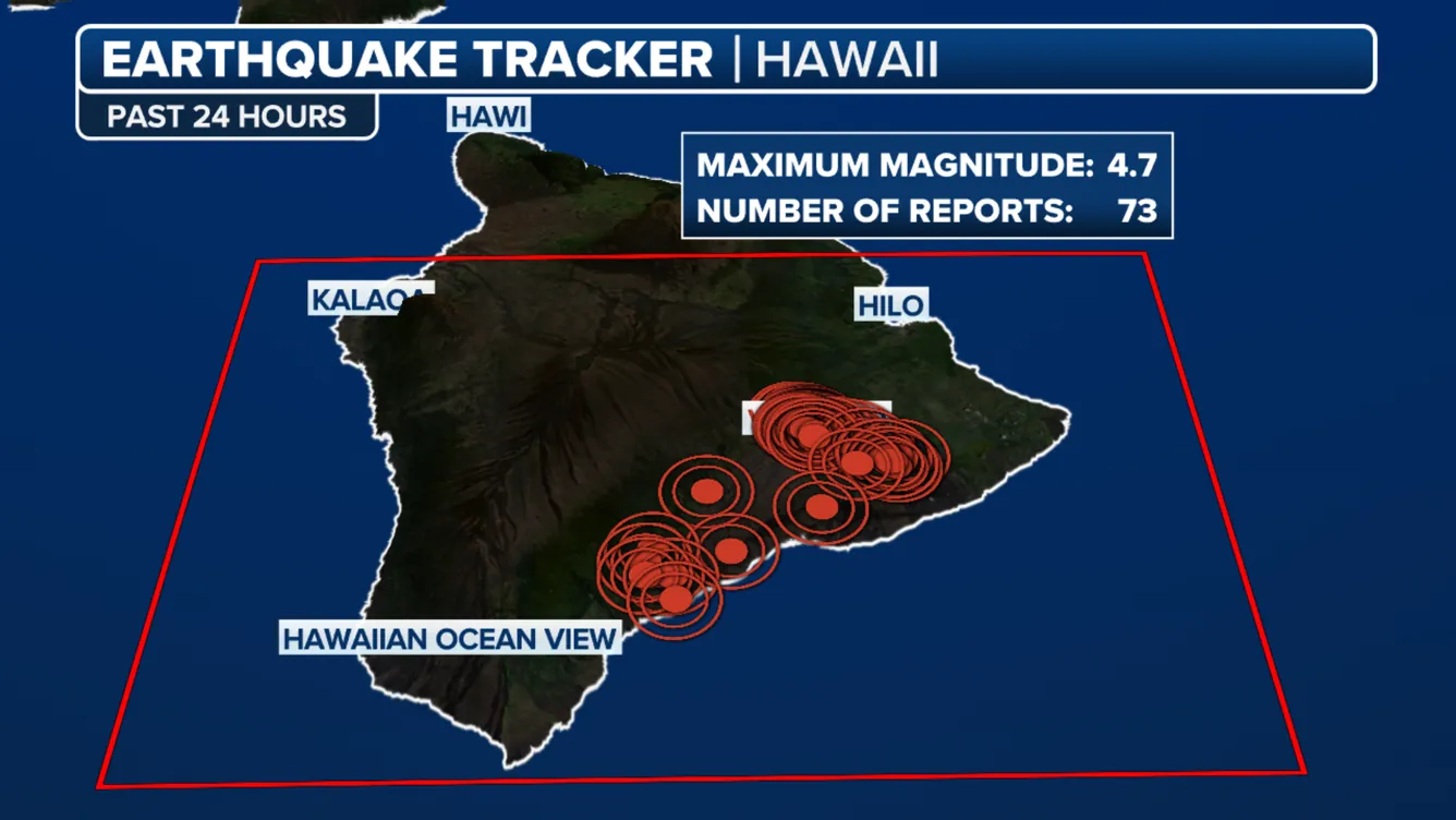
According to Accu Weather, A magnitude 4.7 earthquake struck south of Fern Forest, Hawaii, early Thursday morning, with residents in cities like Hilo reporting they felt the tremors.
Over a dozen smaller quakes, each with magnitudes below 2, have also been detected south of Halema‘uma‘u and near Keanakākoʻi Crater.
(USGS)
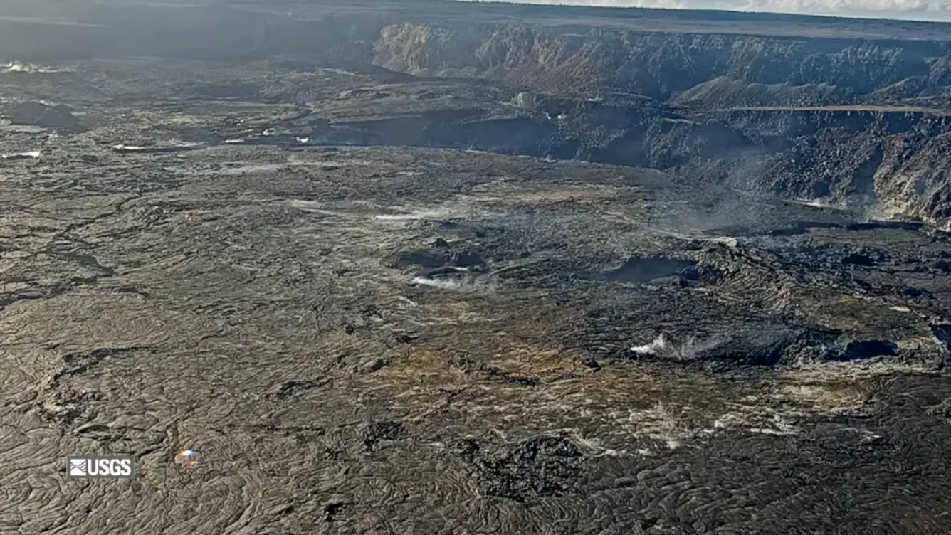
Kilauea last erupted briefly on June 3, with the activity ending a few days later. Since July, the U.S. Geological Survey’s (USGS) Hawaii Volcano Observatory (HVO) has been closely tracking earthquake swarms and ongoing unrest.
HVO Kilauea YELLOW/ADVISORY – Magnitude-4.7 earthquake south of Fern Forest, Island of Hawaiʻi https://t.co/bSSdNqLRjA
— USGS Volcanoes🌋 (@USGSVolcanoes) August 22, 2024
In the latest update on Wednesday, the HVO raised an advisory, signaling increased signs of volcanic activity. The USGS also issues aviation alerts in the event of an eruption, as ash released into the air can impair visibility and create operational challenges for aircraft. On Wednesday, the aviation alert level was set to yellow.
HAWAIIAN VOLCANO OBSERVATORY INFORMATION STATEMENT
KILAUEA (VNUM #332010)
19°25’16” N 155°17’13” W, Summit Elevation 4091 ft (1247 m)
Current Volcano Alert Level: ADVISORY
Current Aviation Color Code: YELLOWOn Thursday, August 22, 12:52 a.m. HST, a magnitude-4.7 earthquake occurred 9 mi (15 km) south of Fern Forest on the Island of Hawaiʻi at a depth of 4 mi (7 km) below sea level. The earthquake had no apparent impact on either Mauna Loa or Kīlauea volcanoes.
Most earthquakes in this region are caused by abrupt motion of Kīlauea volcano’s south flank, which moves to the southeast over the oceanic crust. The location, depth, and waveforms recorded as part of today’s earthquake are consistent with slip along faults related to the south flank detachment fault.
The USGS Hawaiian Volcano Observatory continues to monitor Hawaiian volcanoes for any changes.
EARTHQUAKE DESCRIPTION
-
Magnitude: 4.7
-
Date and Time: August 22, 2024, at 12:52 a.m. HST
-
Location: 9 mi (15 km) S of Fern Forest
-
Depth: 4 mi (7 km) below sea level
-
Aftershocks are possible in the coming days to weeks
(FOX Weather)
Full Link for HAWAIIAN VOLCANO OBSERVATORY INFORMATION STATEMENT
Hawaii Volcanoes National Park remains open, though a Volcanic Activity Notice will be issued if there are significant changes, which could result in temporary closures.
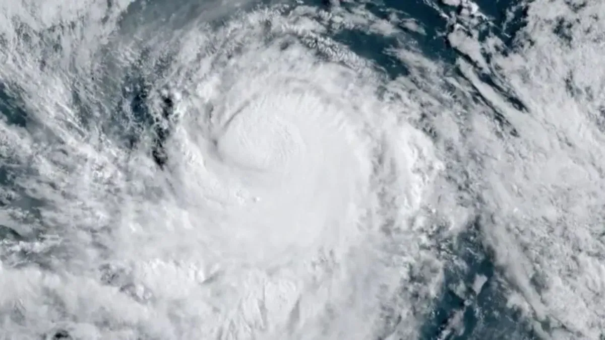
Along with monitoring volcanic activity, Hawaii officials are also keeping an eye on potential tropical development in the Eastern and Central Pacific. The National Hurricane Center is providing updates on invests 90E and 91E, which are forecasted to merge and could impact the Hawaiian Islands in the coming days.
The FOX Forecast Center notes that it’s still too early to determine the full extent of those impacts
FAQ: Magnitude 4.7 Earthquake in Hawaii and Tropical Systems Threat
What was the magnitude of the earthquake in Hawaii?
A. The earthquake had a magnitude of 4.7.
Where did the earthquake occur?
A. The earthquake struck about 28 miles from Hilo, approximately 9 miles south of Fern Forest on Hawai’i Island, also known as the Big Island. It occurred on the south flank of Kīlauea Volcano.
What caused the earthquake?
A. According to the Hawaiian Volcano Observatory (HVO), the earthquake was caused by the abrupt motion of Kīlauea Volcano’s south flank, which moves southeast over the oceanic crust. The event is linked to slip-along faults related to the south flank detachment fault.
How deep was the earthquake?
A. The earthquake occurred approximately 4 miles below sea level.
Was there any significant damage reported?
A. No significant damage has been reported, although the earthquake was strongly felt near the epicenter.
Are aftershocks expected?
A. Yes, aftershocks are possible in the coming days or weeks.
Is there a tsunami threat?
A. The Pacific Tsunami Warning Center issued a statement confirming that no tsunami is expected from this earthquake.
Is Kīlauea Volcano showing signs of an imminent eruption?
A. There are no signs of an imminent eruption from Kīlauea, although there has been an increase in earthquake activity in the area.
What other natural threats are currently facing Hawaii?
A. Hawaii is also bracing for potential tropical trouble from two systems over the Eastern Pacific Ocean that are heading toward the islands.
How are authorities responding to these events?
A. The Hawaiian Volcano Observatory and the Pacific Tsunami Warning Center are closely monitoring the situation, while local authorities are preparing for possible impacts from both the earthquake and the approaching tropical systems
More Information:
Kīlauea activity summary also available by phone: (808) 967-8862
Kīlauea webcam images: https://www.usgs.gov/volcanoes/kilauea/webcams
Kīlauea photos/video: https://www.usgs.gov/volcanoes/kilauea/photo-video-chronology
Kīlauea lava-flow maps: https://www.usgs.gov/volcanoes/kilauea/maps
Kīlauea FAQs: https://www.usgs.gov/volcanoes/kilauea/faqs