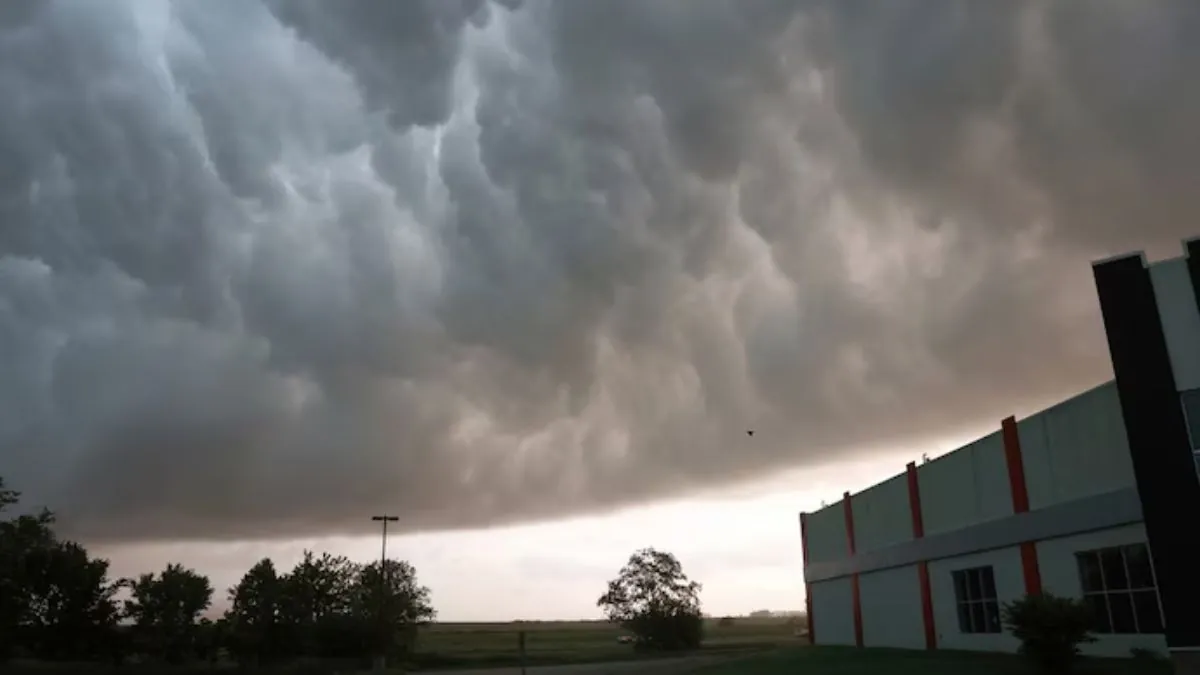
Tonight into Wednesday, we can expect scattered showers and storms moving in from the west and northwest. While not all areas will see precipitation, those living further west have a higher chance of experiencing rain. According to our latest StormCast weather model, here is the predicted storm potential.
SE Missouri, NE Arkansas, far western Kentucky, and NW Tennessee are expected to receive the highest rainfall amounts.
Tonight, the temperatures are expected to decrease to approximately 70 degrees.
Tomorrow’s highs are forecasted to be slightly below average.