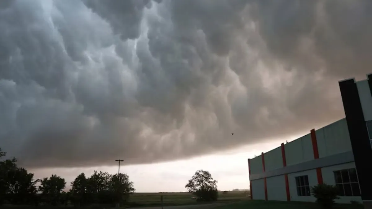
The National Weather Service has issued a severe thunderstorm watch for various areas, including Sterling in Colorado, Kansas, and Nebraska. This warning is valid until 9 PM MDT on Sunday. People in the tri-state region are advised to be careful as there is a risk of potential tornadoes, large hail, and damaging winds due to the severe thunderstorm.
The storm system, as per the National Weather Service Denver/Boulder office, has the potential to generate a few tornadoes, accompanied by isolated hail of up to two inches in diameter and wind gusts up to 70 mph. The severe weather risk blankets significant areas in northeastern Colorado, northwestern Kansas, and southwestern Nebraska, affecting nearly 97,000 individuals, including 162 schools and 20 hospitals.
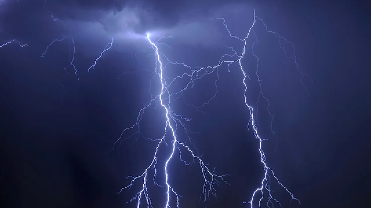
It is important for individuals residing in the affected areas to stay updated with the latest weather developments and to remain vigilant in case there is a need for immediate shelter. The warning encompasses various towns such as Sterling located in Colorado, Yuma and Burlington, and some regions in western Kansas and southern Nebraska. These areas are anticipated to be hit the hardest by the upcoming storms.