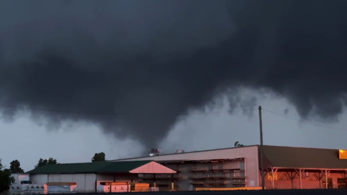
The National Weather Service (NWS) has released a severe thunderstorm watch for certain areas in Illinois, Indiana, and Kentucky until 8 PM EDT today. As per the advisory, there is a possibility of dangerous weather conditions, including isolated hail up to quarter size, scattered wind gusts up to 70 mph, and frequent lightning. The residents of these areas are advised to take necessary precautions to ensure their safety.
The National Weather Service (NWS) has identified several major cities, including Bloomington, Louisville, Cincinnati, Lexington, and Evansville, as the affected areas. It is anticipated that over 4 million individuals, 1,322 schools, and 107 hospitals within the watch zone will be impacted by the storm. The primary concerns are damaging winds that may result in power outages and property damages.
To ensure safety during the storm, the NWS advises residents to secure any outdoor objects, avoid travel if possible, and stay indoors. It’s also important to stay informed by following local news channels and using weather apps to receive real-time alerts.